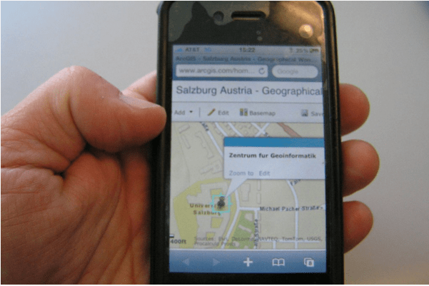
Entering an address into your smartphone, a web browser, or in an in-vehicle GPS device and getting turn-by-turn directions, a photograph at each turn, and a map or satellite image wherever you desire along the way is a task performed by millions of people around the Earth on a daily basis. But this capability of geocoding addresses—placing addresses on a map–has only been available for 20 years. How did those maps and addresses get there, and what is the impact that they have had on geography, decision making, and society?
Podcast: Play in new window | Download
Subscribe: Apple Podcasts | Android | RSS


