Greetings! Joseph Kerski here with you. It has been an incredible honor partnering with you all in the GIS education space; I had a wonderfully spatial and fulfilling year and I truly hope you did as well. For a video of this content, click here.
Throughout the year, I and my teammates here at Esri are focused on promoting, fostering, and encouraging a deeper notion of GIS—that GIS includes field data gathering tools, tools for mapping, analysis, and for communication, and for making a positive difference in our communities and in our world. We also sought and encouraged a broader notion of GIS—that GIS is too valuable a tool and perspective for just a few disciplines on a campus; it needs to be in instruction and research not just in geo-enviro-GIScience but in sociology, business, civil engineering, data science, language arts, history, biology, and in so many others. To that end I worked most closely on the instruction and research side of GIS in education, with a focus on spatial thinking and analysis, mostly with higher education but with frequent work in the primary and secondary school space as well.
GIS and spatial thinking are advancing in depth and in breadth across the education space, as evidenced in academic institutions, in public policy, and by publishers. That is good, because we have many complex and serious challenges in our world that can be understood and solved by applying spatial and critical thinking with GIS to enable wise decision making.
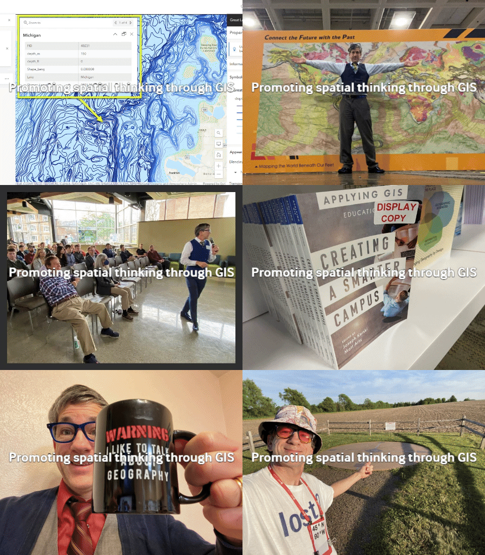
This year I was honored to co-author two books, Creating a Smarter Campus, for Esri Press with Matt Artz, and Teaching Mathematics Using Interactive Mapping, with Dr Sandra Arlinghaus and Dr Bill Arlinghaus, Taylor & Francis. I had several articles and chapters published about GIS in education in peer reviewed publications including a chapter in Key Methods in Geography, Sage Publications.
This year I was also honored to have given keynote addresses at 9 conferences: Future City, Geotech Center’s Geo Ed, and state GIS conferences in Wisconsin, South Dakota, Pennsylvania, North Carolina, Kentucky, and Arizona, and for the South Dakota State University’s student-run geography conference.
I also participated in some wonderful national and international conferences, including AAG, AGU, AGX, GSA, GeoEd, ISI, the Esri Ed Summit and UC, and NCGE. Combined attendance at these events was nearly 60,000 people.
I was able to collaborate with some wonderful folks across many organizations—my own organization Esri, plus URISA, the GIS certification institute, the GeoTech Center, the international statistics institute, the AAG, the NCGE, the Applied Geography Community, and others.
In 2023 I taught at several multi-day institutes that brought together a diverse set of educators from K-12 education, community colleges, and universities: One focused on sustainability and climate through the University of Northern Colorado, in May, and the other focused on DEI in Gettysburg Pennsylvania, in August.
One of my favorite things about the year were my F2F visits to 35 campuses, from the west (USF in San Francisco) to the east (SUNY Binghamton, Univ of NC), from the north (U of Wisconsin Madison) to the south (Texas State University and Delta State University, Mississippi), across 15 states and in 2 other countries besides the USA (University of Hamburg in Germany, and the University of Ottawa in Canada). I had the honor of giving presentations and short courses on these campuses but also meeting provosts, deans, faculty, facility managers, and students, and listening to their challenges and successes, encouraged me greatly, and I hope I brought some joy and encouragement to them as well.
I also conducted webinars and presentations to about 50 additional tribal, community, tech colleges, and universities online, including the NE Indian Community College, San Carlos Apache Tribal College, UCSB, Boston College, and Lindenwood University Missouri. I do enjoy teaching online and connecting with people there!
My favorite new things about GIS this year were: 1. Custom symbols in ArcGIS Online; 2. Georeferencing via media maps in ArcGIS Online, 3. Raster analysis in ArcGIS Online. I also still love the ArcGIS Living Atlas of the World apps.
I created over 500 videos this year as well as 12 podcasts in the Thinking Spatially series, and wrote about GIS data and society every 2 weeks on the Spatial Reserves data blog. I also wrote the last installment for the longstanding column GeoInspirations for Directions Magazine.
I created curricular materials around environmental GIS, introductory GIS materials, those on ethics, statistics, and business analysis, Indigenous engagement with GIS, career pathways, and cartography.
I taught my own courses for 4 institutions—the University of Denver (public domain data for GIS), the University of Minnesota (mapping our world), Harrisburg Area Community College (Cartographic Design), and Au Sable Institute in Michigan (Environmental GIS).
I read over 60 books this year, 2 of my favorites were The Bookseller of Florence, and Alias Anna. I also got out into the field, literally, to 21 latitude-longitude intersections in Germany, Pennsylvania, Wisconsin, South Dakota, North Dakota, Minnesota, Iowa, and Wisconsin. Including 45 North 90 West – halfway to the North Pole from the Equator, and halfway to the international date line from the Prime Meridian – what’s not to love?
For many, this year brought organizational changes, and professional hardship: The world of education is not an easy one. For some this year, living day to day in our troubled world was a struggle. My heart goes out to all those immersed in professional and personal trials. I learned a great deal from you all this year: I saw many longtime treasured colleagues, and I met many wonderful new people. I thank you all and look forward to continuing to partner with you.


